0
$ 0
0
Subscribe

TREKKING THE GREAT ANDEAN ROUTE, FROM THE ANDES TO THE PLAINS / 8N - 9D

FROM THE EASTERN ANDES TO THE FOOT OF THE LLANERO MOUNTAINS

***Tourism product with special mention by the ProColombia 2022 Tourism Awards in the Charming Regions Chaining category***.

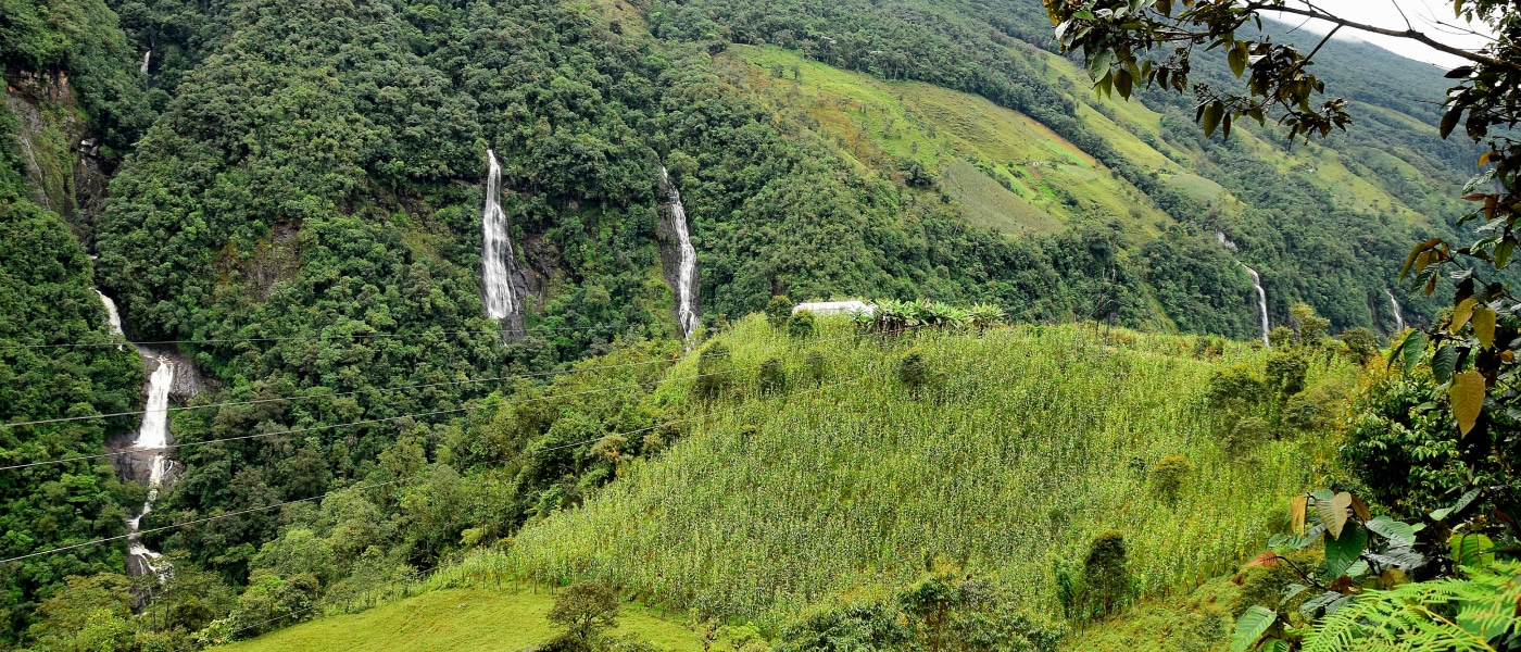
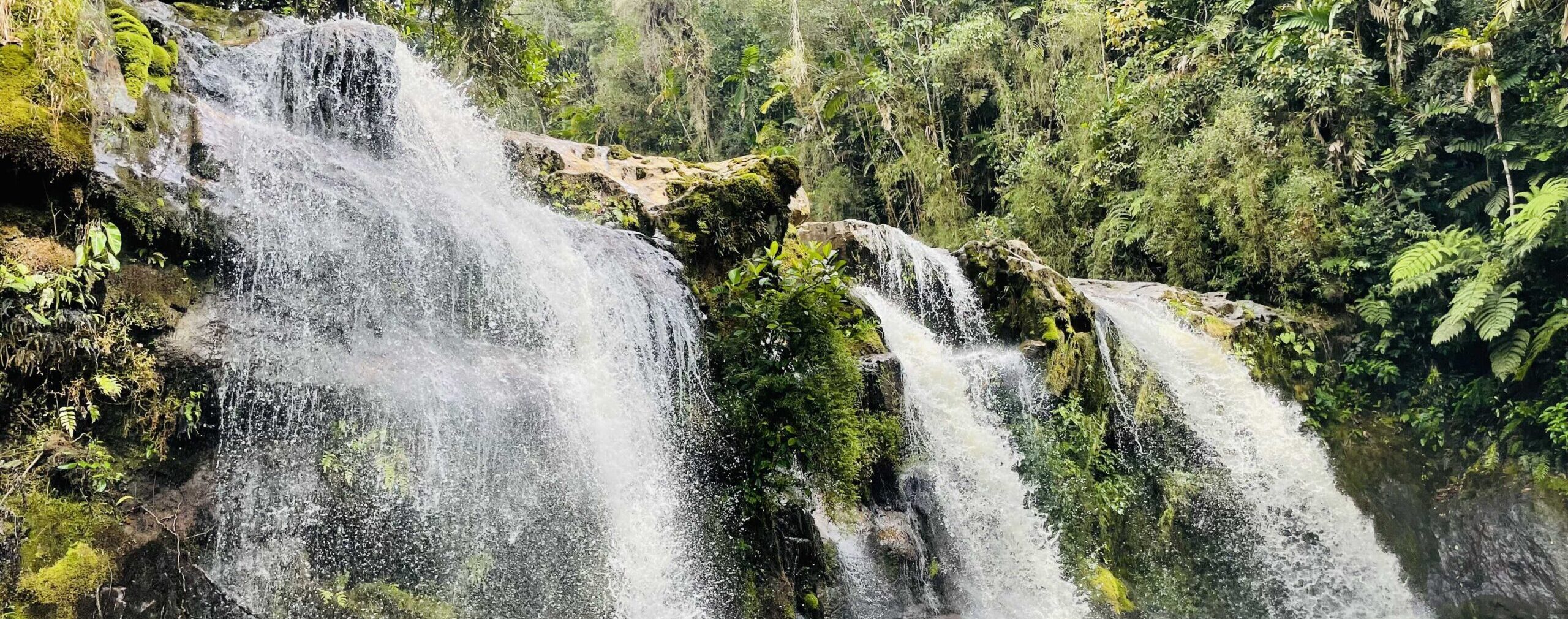
The Gran Recorrido Andino, the ancestral trails of the Eastern Andes in the Province of Oriente and the foothills of the Llanero Mountain Rangeuniting two regions, cultures, local initiatives and a lot of landscape through nature and community tourism.

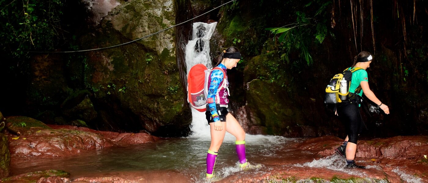
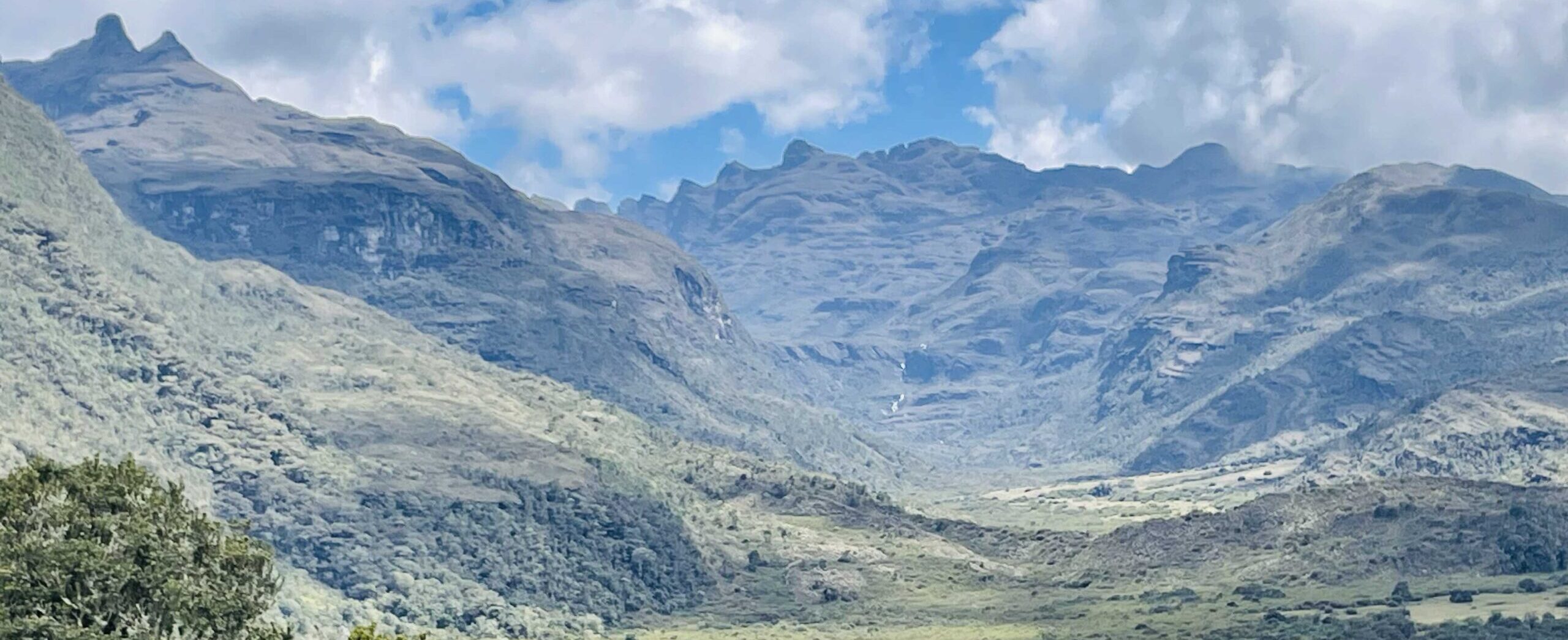
The Gran Recorrido Andino is divided into three segments: Segment 1 From PARAMO TO PARAMO, Segment. 2 On the way to Meta through the Serranía del Dios de la Noche (God of the Night Mountain Range) (Chingaza in Muysca) y Segment 3 Through the Guatiquía Canyon, Water Mountains, Peace Trails.


Walking distance: 98 km (in 7 stages) you can do it in segments.
Approximate time per stage: 6 to 10 hours depending on the stage.
Climate: We will have all climates: cold, temperate, warm, humid, muddy. Remember: Rainy season: April to August | Dry season: December to March.
Ecosystem: Andean Forest, High Andean, Sub-Andean, Paramo, Paramo.
Positive difference in altitude: 5,727 mt + D
Negative difference in altitude: 6,776 mt -D
Location: CUNDINAMARCA: Bogotá rural area, Choachí rural area, Fómeque rural area, Chingaza PNN buffer zone, META: Piedemonte Llanero, Guatiquía Canyon.
Start of hike: 45 minutes from Bogotá End of hike: Villavicencio or Restrepo rural area.
Attractions: Ancestral trails, royal road, sacred lagoons, community tourism, native forest, endemic and giant frailejones, waterfalls, streams, birds, Andean bear trail (with the possibility of seeing it), seas of frailejones, moss mats, enchanted forests, mist, viewpoints, canyons, recovery of communities from the armed conflict.
ITINERARY
RURAL ZONE OF BACATÁ (Bogotá), CRUZ VERDE CROSS GREEN WILDLAND TO CHIGUACHÍA (Choachí)
The journey begins in the Cruz Verde Paramo, walking along the old stone road, down to the rural area of Choachí. Attractions: Royal road, paramo vegetation, sacred lagoon, waterfalls, ancestral history.
Distance to be covered: 16KM approx.
Time Approx. 6 to 7 HOURS
Climbing altitude: 600 mt
Elevation gain descending: 850 mt
Maximum altitude: 3,553 meters above sea level.
Minimum altitude: 2,832 meters above sea level.
Temperature: Cold
Housing temperature: temperate
STAGE 2. FROM THE WHITE RIVER CANYON TO THE CHINGAZA PÁRAMO
The stage begins in the municipality of Choachí, descending to the Rio Blanco Canyon and ascending the old royal road to the Paramo de Chingaza. You will spend the night in a rural inn in the middle of the Paramo.
Distance to be covered: 16 KM approx.
Time Approx. 7 HOURS
Climbing altitude: 1,613 mt
Elevation gain descending: 300
Maximum altitude: 3,235 meters above sea level
Minimum altitude: 1,637 meters above sea level.
Temperature: Cold
STAGE 3. INTIMATELY CROSSING THE MOORLAND
Beautiful stage through the valley of the Playa River, of the Chingaza National Park. On our way we will find the magical Laguna de Chingaza, Serranía de los Organos, Laguna Larga, Lagunas Encadenadas and other wonders. We will spend the night in the middle of the páramo in a mountain refuge (sleeping on mats and sleeping).
Distance to be covered 23 KM approx.
Time Approx. 10 to 12 HOURS
Elevation gain climbing: 1.066 mt D+
Elevation gain descending: 794
Maximum altitude: 3,773 meters above sea level.
Minimum altitude: 3,165 masl
Temperature: Moorland cold and humid
STAGE 4. BY THE PHILO TO SAN JUANITO (Entering the Meta)
We begin the descent through a ridge towards the Guatiquía canyon and its beautiful plains town in the middle of the mountains, San Juanito Meta, which will welcome us with the quality of its people and its beautiful landscape, we will leave behind the cold of the moor.
Distance to be covered 10 KM approx.
Time Approx. 5 HOURS
Climbing altitude: 100 mt
Elevation gain descending: 1,571 mt
Maximum altitude: 3,507 meters above sea level.
Minimum altitude: 1,910 meters above sea level.
Temperature: Cool to warm
STAGE 5. MOUNTAINS OF WATER, TRAILS OF PEACE
After a good rest, we will make a cultural tour of San Juanito, we will visit the spectacular Natural Cave of Tablón, then we will start the Guatiquía canyon trail crossing hanging bridges and streams until the village of San Roque where we will sleep in a rural inn.
Distance to be covered: 9 KM approx.
Time Approx. 5 HOURS
Climbing altitude: 600 mt
Elevation gain descending: 960 mt
Maximum altitude: 1,910 meters above sea level.
Minimum altitude: 1,370 meters above sea level
Temperature: Hot
STAGE 6. FLAT WINDS IN THE MOUNTAINS
After passing 6 hanging bridges, waterfalls, mountains, landslides and a lot of biodiversity, we will arrive at Monfort, another small town in the Meta mountain range.
Distance to be covered: 18 KM approx.
Time Approx. 10 HOURS
Climbing altitude: 1,461 mt
Elevation gain descending: 1,841 mt
Maximum altitude: 1,910 meters above sea level.
Minimum altitude: 1,370 meters above sea level
Temperature: Hot
STAGE 7. THE GOAL IN THE GOAL
From Monforth a vehicle will take us to Vereda Santa Teresa (to avoid a big landslide), we will have a bath in a creek and begin the last stretch of our GREAT ANDEAN TOUR. Arrival to the village of Puente Abadía in Villavicencio, where we will have lunch, a place to rest and take a bath. A car will take us to the bus terminal to return to Bogota. END OF TRIP
Distance to be covered: 6 KM approx.
Time Approx. 4 HOURS
Climbing altitude: 100 mt
Elevation gain descending: 460 mt
Maximum height: 1,138 mtms
Minimum altitude: 544 meters above sea level
Temperature: Hot
Additional recommendations
Remember that you will have to walk with your suitcase, take what you need, not too much, not too little.

Map

Frequent questions

Your cart
You have no reservations in your cartReturn to exits

Sign up to receive news in my email

Name *
Last name *
Mail *
Did you forget your password?
Name and surname
E-mail
Password
Confirm your password